A23a Iceberg, Antarctica (2024)

A23a Iceberg, Antarctica, photograph # 1 — more than three times the size of New York City, and with a thickness of around 1,312 feet (400 meters) – 90% of which is below the surface of the ocean — A23a is currently the world’s largest iceberg

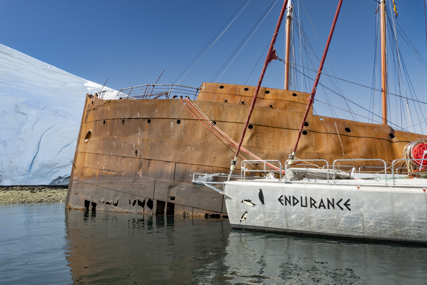
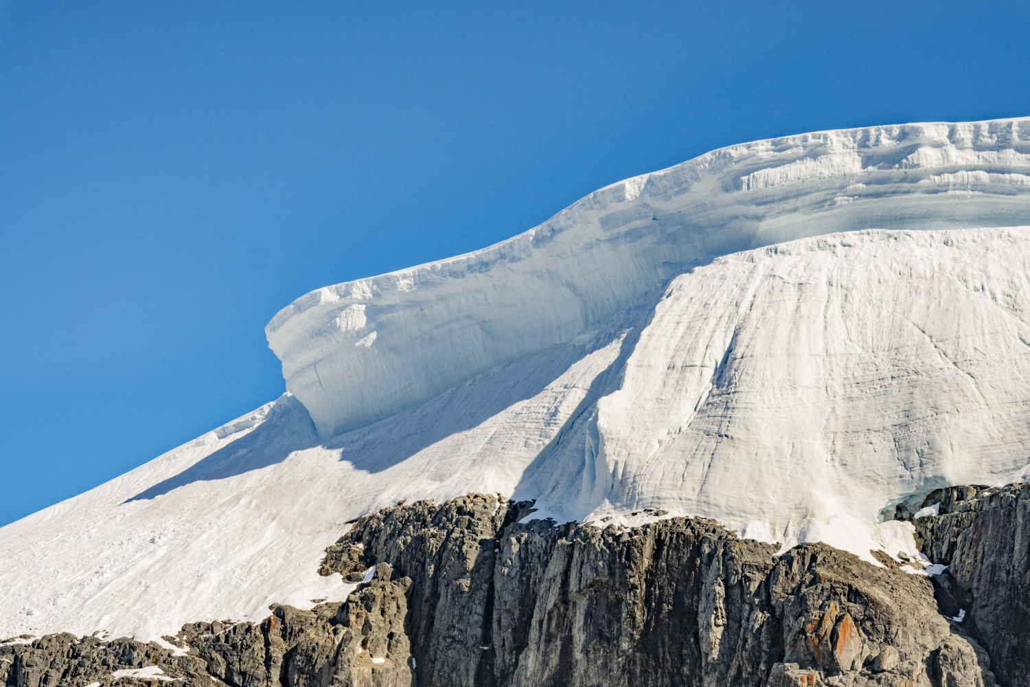
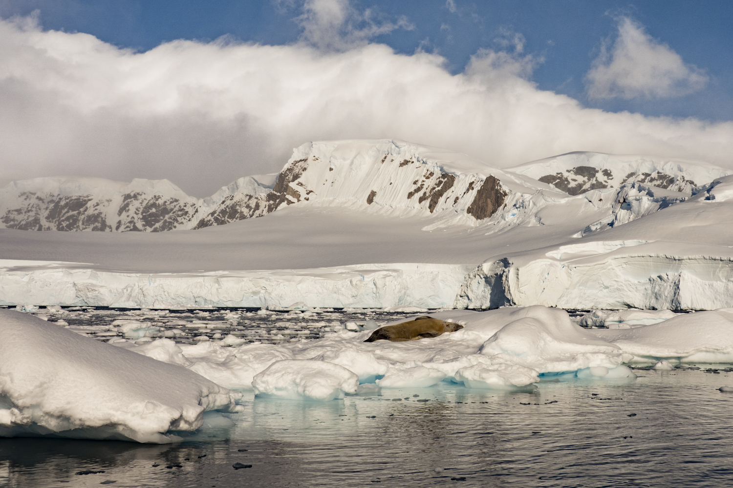
After our exploration of Point Wild on Elephant Island in the South Shetland Islands, Antarctica, as we set sail for the Falkland Islands to the north, we purposely sailed east overnight for a 5:00 a.m. (05:00 hours) rendezvous with the A23a iceberg.  Why go out of our way to see one iceberg?  Good question!

Covering approximately 1,544 square miles (4,000 square kilometers), which is more than three times the size of New York City, and with a thickness of around 1,312 feet (400 meters), A23a is currently the world’s largest iceberg.  It’s hard to picture a piece of ice this big:  40 x 32 nautical miles in a roughly square shape, viewed from above.  To put that in perspective, sailing by part of the western edge of A23a for two hours at 8 nautical miles per hour, we only viewed 40% of the length of the iceberg in that time.  And how much does it weigh? 1,000,000,000,000 tons!  That’s 1 trillion tons.  So it is about 100 million times heavier than the Eiffel Tower in Paris.

Calving off West Antarctica’s Filchner-Ronne Ice Shelf in 1986, this iceberg has mostly been stranded since its base became stuck on the floor of the Weddell Sea when its submerged “keel” became lodged on the seafloor.  It started to break free of the Weddell Sea in 2020 and then in late November 2023 the iceberg started to move and has since been traveling north at a speed of approximately 30 miles (48 kilometers) a day – not quite 1.5 miles per hour (2.4 kilometers per hour).  The iceberg is drifting in the Antarctic Circumpolar Current, the great sweep of water that circles the continent in a clockwise direction.

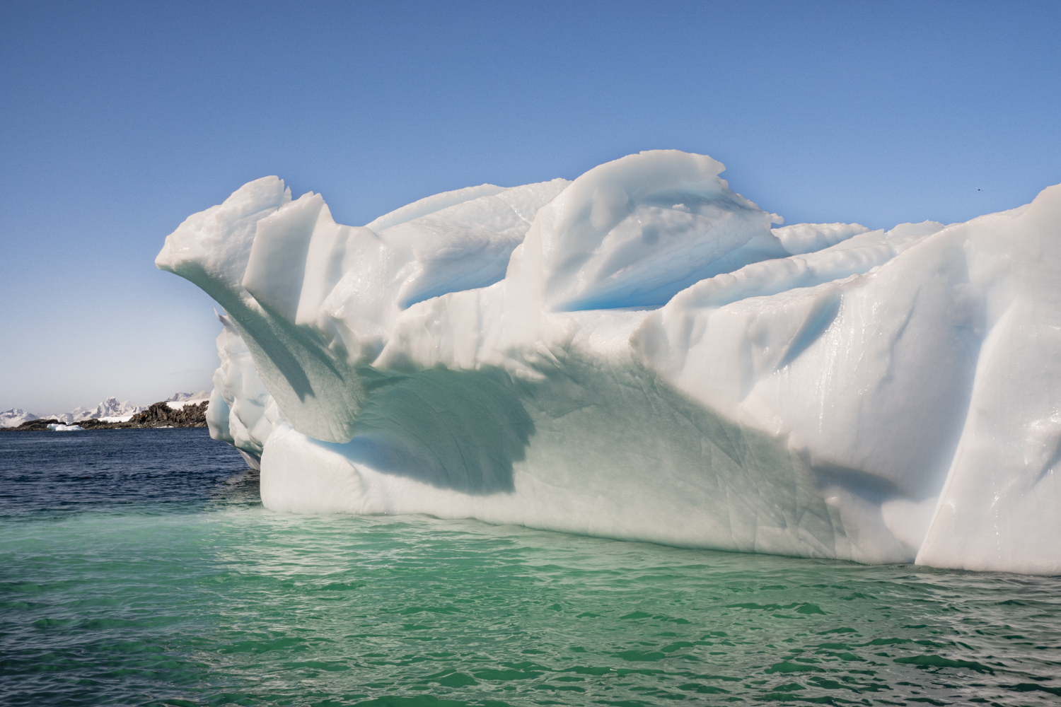
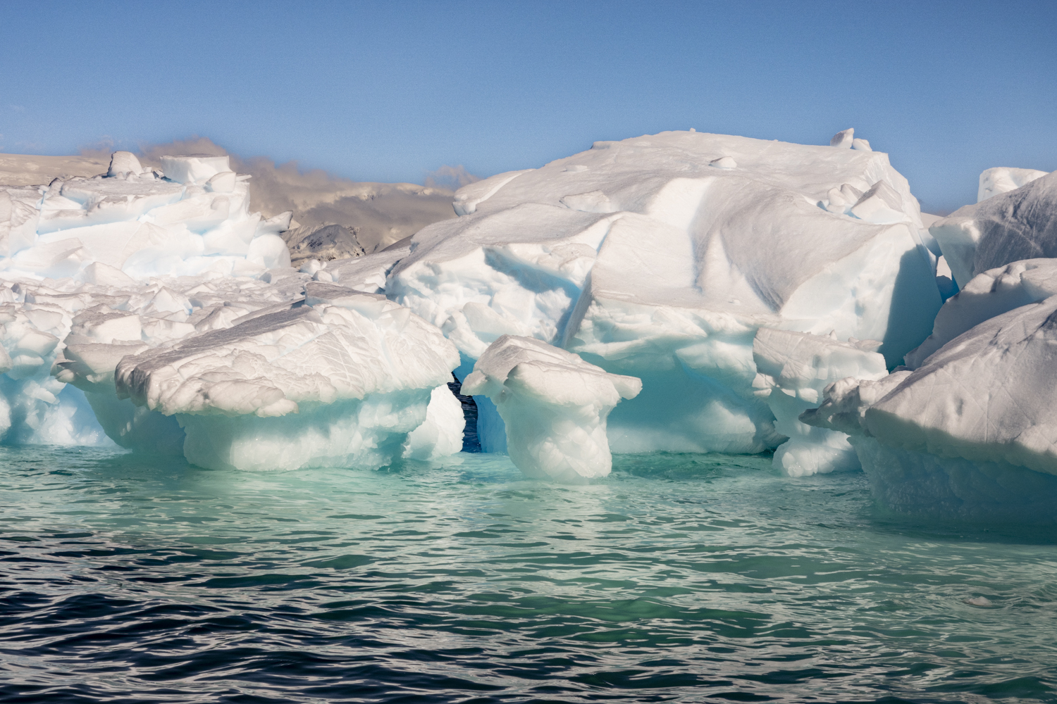
So, we caught sight of it for two hours in the Southern Ocean in the early morning light, in the midst of a heavy snowfall.  It’s hard to find words to describe such a colossal iceberg.  We were able to sail very close to the western edge of the iceberg for two hours, giving us early risers the opportunity (in a blowing snowstorm) to marvel at the numerous ice arches and caves along the edge of the iceberg as it rapidly decays as it moves north through the Southern Ocean.  Only later that afternoon when we saw some drone video images could the immensity of the iceberg begin to become more visualized.  Our expedition videographer kindly shared a still photographic image from the drone that I have included below [see photograph # 12].  Our videographer noted: “It’s mind-bogglingly big.  I actually don’t think we can fathom just how big it is; we can only know how big it is from science.  It’s certainly too big to photograph.  It stretches as far as you can see in both directions.”

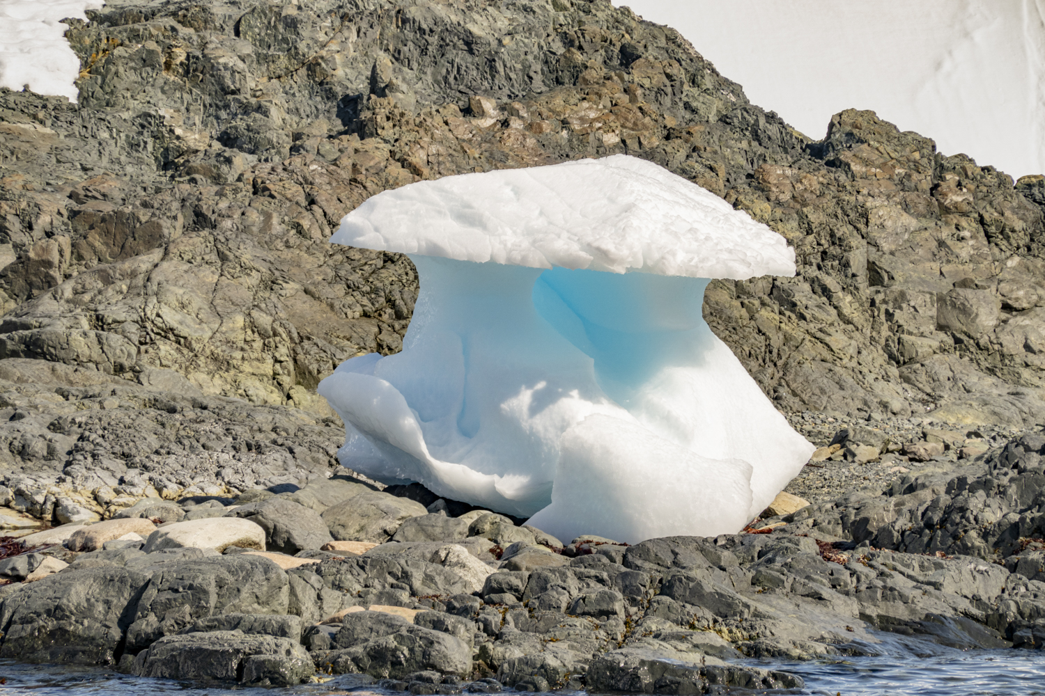
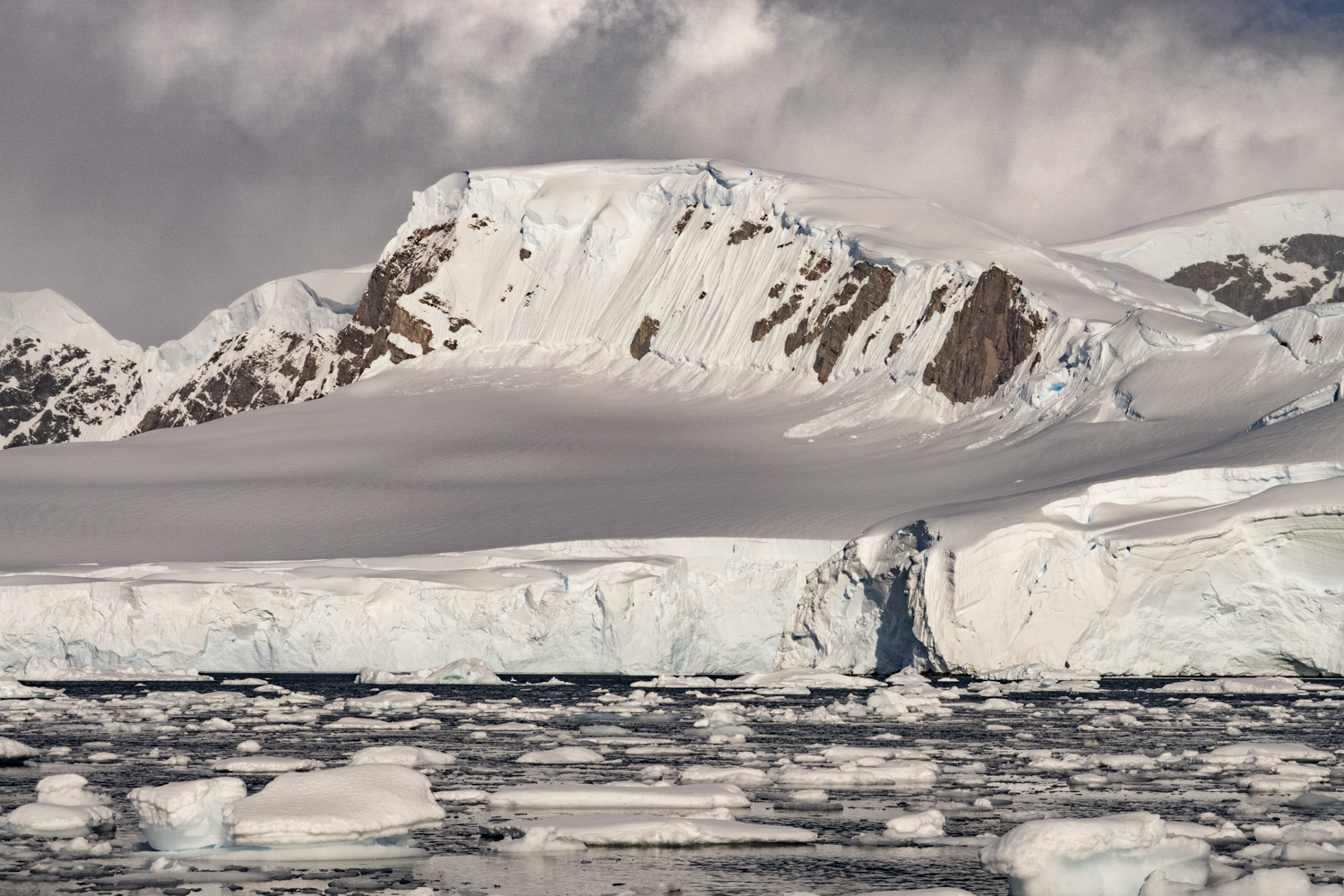
As A23a has moved north of Antarctica through warmer ocean waters and warmer air temperatures over the past two months, it has been gradually eroding.  You will see in our photographs that the edge of the iceberg shows many deep surface cracks, hollowed out caves and carved columns and other “structures” that will eventually fall off.  We saw large chunks of the iceberg break off into the ocean as we sailed close by the western edge.

A23a Iceberg, Antarctica, photograph # 2 — as A23a has moved north of Antarctica through warmer ocean waters and warmer air temperatures over the past two months, it has been eroding faster than when it was grounded in the Weddell Sea

A23a Iceberg, Antarctica, photograph # 3 – we marveled at the numerous arches and caves along the edge of the iceberg, as it rapidly decays as it moves north through the Southern Ocean

A23a Iceberg, Antarctica, photograph # 4 – like tidal glaciers, A23a was heard (first, usually) and then seen calving huge chunks of ice into the ocean

So where will A23a go and what is its fate?“…the Antarctic Circumpolar Current… together with the prevailing westerlies, is pushing A23a in the general direction of the South Orkney Islands, which are about 600km (370 miles) northeast of the tip of the Antarctic Peninsula.  It is firmly in the track of what scientists refer to as “iceberg alley” — the major route for the export of ice from the continent.  The interplay of winds, ocean fronts and eddies will determine its precise course over the coming weeks, but many of these giant flat-topped, or tabular, bergs end up passing by the British Overseas Territory of South Georgia.  Their destiny is to fragment and wither to nothing.  Their legacy is the ocean life they seed by dropping entrained mineral nutrients.  From plankton up to great whales – all benefit from the melting bergs’ fertilisation effect.” — www.bbc.com/news/science-environment-67986443

A23a Iceberg, Antarctica, photograph # 5 – the falling snow was particularly visible in front of the “caves” at the edge of the iceberg

A23a Iceberg, Antarctica, photograph # 6 — It’s hard to picture a piece of ice this big:  40 x 32 nautical miles in a roughly square shape, viewed from above; to put that in perspective, sailing by part of the western edge of A23a for two hours at 8 nautical miles per hour, we only viewed 40% of the length of the iceberg in that time

A23a Iceberg, Antarctica, photograph # 7 — fracture lines in the iceberg make it susceptible to breaking apart

A23a Iceberg, Antarctica, photograph # 8 – the repeating series of arches looks like it was designed by an architect

“A23a has held the “largest current iceberg” title several times since the 1980s, occasionally being surpassed by larger but shorter-lived icebergs, including A68 in 2017 and A76 in 2021.  The enormous iceberg will eventually disappear completely.

“Scientists have said that, while this particular iceberg likely broke away as part of the natural growth cycle of the ice shelf, climate change is driving worrying changes in this vast, isolated continent with potentially devastating consequences for global sea level rise.  Last February, Antarctic sea ice reached its lowest extent since records began, at 691,000 square miles.” — www.cnn.com/2024/01/17/climate/iceberg-a23a-erosion-photos-scli-intl-scn-climate/index.html

A23a Iceberg, Antarctica, photograph # 9 — we were able to sail very close to the western edge of the iceberg for two hours, giving us early risers the opportunity (in a blowing snowstorm) to marvel at the numerous arches and caves along the edge of the iceberg as it rapidly decays as it moves north through the Southern Ocean

A23a Iceberg, Antarctica, photograph # 10 — our videographer noted: “It’s mind-bogglingly big.  I actually don’t think we can fathom just how big it is; we can only know how big it is from science.  It’s certainly too big to photograph.  It stretches as far as you can see in both directions.”

A23a Iceberg, Antarctica, photograph # 11 – a stunning ice “design” that will soon collapse from the cracks and continuing water and wave erosion

A23a Iceberg, Antarctica, photograph # 12 – aerial photograph of A23a and our ship, from a drone, as our ship sailed for 2 hours along the western edge of the world’s largest iceberg, now in the Southern Ocean, after drifting north from the Weddell Sea in Antarctica; photograph courtesy of and © by Richard Sidey

A23a Iceberg, Antarctica, photograph # 13 – after sailing about 10 miles north along the edge of the iceberg, we had to sail to the northwest in order to not run into a massive “fragment” (really, a giant iceberg in its own right) that had broken off A23a and was now perpendicular to the western edge of A23a, drifting northward together; it was deduced that this fragment had broken off of A23a because of its huge size and a very clean edge (on this side), whereas the other sides showed erosion very similar to that pictured earlier on the “mother” A23a iceberg

A23a Iceberg, Antarctica, photograph # 14 – the narrow edge of the massive “fragment” that that had broken off A23a and was now drifting northward with it

A23a Iceberg, Antarctica, photograph # 15 – we sailed around the smaller iceberg (the A23a fragment) and finally could see where it ended, drifting alongside the western edge of A23a (seen here on the left edge of the photograph)

A23a Iceberg, Antarctica, photograph # 16 – a close up of the northern-facing side of the fragment, where it met the middle of the western edge of the much more massive A23a

“How rare are giant icebergs like this one?  Chad Greene at NASA’s Jet Propulsion Laboratory in California says a large iceberg like A23a calves off of one of Antarctica’s ice shelves about once a decade; the Filchner-Ronne ice shelf sees such an event about once every 50 years.  ‘Icebergs are like earthquakes – we get lots of tiny ones, and a few really big ones like A23.’” — www.newscientist.com/article/2405085-where-is-the-iceberg-that-broke-off-antarctica-and-is-it-a-threat/

Legal Notices: All photographs copyright © 2024 by Richard C. Edwards.  All Rights Reserved Worldwide.  Permission to link to this blog post is granted for educational and non-commercial purposes only.

Point Wild, Elephant Island, South Shetland Islands, Antarctica (2024)

Point Wild, Elephant Island, South Shetland Islands, Antarctica, photograph # 1 – the ice-covered, mountainous island – made famous as the location for the winter 1916 refuge for 22 crew men (of the sunken ship, Endurance) of Shackleton’s Imperial Trans-Antarctic Expedition — is located in the outer, eastern reaches of the South Shetland Islands, approximately 245 kilometers (152 miles) northeast of the tip of the Antarctic Peninsula, about 1,250 kilometers (780 miles) southwest of South Georgia Island, and 900 kilometers (550 miles) southeast of Cape Horn, Argentina

For anyone familiar with the legends of polar exploration, the name, Elephant Island, is synonymous with the desolate austral winter refuge in 1916 of Sir Ernest Shackleton and his crew of 27 other men, following the sinking in 1915 of their ship Endurance (in the polar pack ice of Antarctica in the Weddell Sea) on Shackleton’s Imperial Trans-Antarctic Expedition of 1914-1917. 

Having found the solid land of Elephant Island as a refuge from the ice of Antarctica, Shackleton realized that there was no chance of a rescue from a ship, as Elephant Island was off whalers’ sailing routes to either Deception Island (to the west, in the South Shetland islands) or South Georgia Island, to the east.  Shackleton calculated that the best chance of reaching a manned settlement was an extraordinarily risky and daring journey in a small (22.5 foot [7 meters]), open lifeboat (from the ship Endurance) to South Georgia Island, where there were several whaling stations.  His 16-day voyage with 5 of his crew, in rough seas, across the 1,300 kilometers (800 miles) to reach the northwest shores of South Georgia Island is one of the greatest small boat journeys (and rescues) in world history.  Then came a life-and-death cross-island hike to reach a settlement.  Without proper clothing, sleeping bags, adequate food, or mountaineering equipment, Shackleton and 2 other men from his crew hiked across miles of the mid-island mountain range covered in snow and ice to finally reach a whaling station on the east side of the island.  In short order the 3 men left behind on South Georgia’s western shore were rescued by a boat form the whaling station.  But it then took months and four attempts in four different boats for Shackleton to lead a rescue mission back to Elephant Island for the successful rescue of the 22 men left behind for 4.5 months in the winter of 1915-1916.

From our last anchorage (and shore landing) at Brown Bluff on the Tabarin Peninsula, in the northernmost part of the Antarctic Peninsula, we sailed north to large, easternmost of the South Shetland Islands, Elephant Island.  The ice-covered, mountainous island is located in the outer, eastern reaches of the South Shetland Islands, approximately 245 kilometers (152 miles) northeast of the tip of the Antarctic Peninsula, about 1,250 kilometers (780 miles) southwest of South Georgia Island, and 900 kilometers (550 miles) southeast of Cape Horn, Argentina. 

Point Wild is a small peninsula on the northeastern shore of Elephant Island and is home to a Chinstrap penguin colony.  The Point is named in honor of Frank Wild, the indomitable leader of the crew, totaling 22 men, from the Endurance who were left behind for the winter of 1916 when Shackleton and 5 other crew members sailed off to find South Georgia and a hoped-for rescue.  So, where did the name Elephant Island come from?  Some believe Elephant Island got its name from the sighting of Elephant seals along its shores.  Others suggest the name was inspired by the shape of the island that resembles an elephant head.

Point Wild, Elephant Island, South Shetland Islands, Antarctica, photograph # 2 – this tall, vertical outcropping rock of an island helps protect Point Wild, located to the right of the photograph, from the large swells and wind hitting the north shore of the island

Point Wild, Elephant Island, South Shetland Islands, Antarctica, photograph # 3 — on the western side of Point Wild is this massive tidal glacier

Point Wild, Elephant Island, South Shetland Islands, Antarctica, photograph # 4 – the north shore of the island just to the east of Point Wild

Point Wild, Elephant Island, South Shetland Islands, Antarctica, photograph # 5 – finally we caught sight of Point Wild from our Zodiac; the “beach” landing where the Endurance crew spent the winter is the pathetically small, rock filled flat strip of land in front of the glacier, surrounded by the massive mountain cliff on the left (east) side and another rock outcropping on the right (northwest) side, home to a large colony of chinstrap penguins; the stranded men had very little “territory” to walk around during their miserable winter at Point Wild

Point Wild, Elephant Island, South Shetland Islands, Antarctica, photograph # 6 – a close-up of the small strip of rocky “beach” where the Endurance crew set up their upturned two lifeboats as a shelter; note the small stand and statue (a tribute to the captain of the Chilean ship, Luis Pardo, who rescued the stranded men, accompanied by Shackleton) in the center of the strip of “beach” [see photographs # 8 and 9, below, for close-ups]

Point Wild, Elephant Island, South Shetland Islands, Antarctica, photograph # 7 – our ship at anchor after finding a safe anchorage amongst the icebergs, rocks and shoals of the treacherous sailing area

Point Wild, Elephant Island, South Shetland Islands, Antarctica, photograph # 8 – viewed from a different perspective, this is the same pathetically small, rock filled flat strip of land (“beach”) where the crew overwintered, with the tribute statue to the captain of the Chilean ship, Luis Pardo, who rescued the stranded men

How did the stranded 22 men of the crew of the Endurance survive the winter on Elephant Island?  “There was much work for the stranded men.  Because the island had no natural source of shelter, they constructed a shack and wind blocks from their remaining two lifeboats and pieces of canvas tents.  Blubber lamps were used for lighting.  They hunted for penguins and seals, neither of which were plentiful in autumn or winter.  Shackleton instructed Wild to depart with the crew for Deception Island if he did not return to rescue them by the beginning of summer, but after four and a half months, on August 30, 1916, the artist George Marston spotted a ship.  The ship, with Shackleton on board, was the tug Yelcho, from Punta Arenas, Chile, commanded by Luis Pardo [with Shackleton aboard], which rescued all the men who had set out on the original expedition.” – Wikipedia  It’s hard to imagine the indomitable will, resourcefulness and strength required by the men stranded there to have survived the winter in such an inhospitable place.  And note that these photographs were made in January, which is summertime in the southern hemisphere; yes, winter is much, much colder and inhospitable here.

Point Wild, Elephant Island, South Shetland Islands, Antarctica, photograph # 9 – a close-up of the tribute statue (and several plaques) to the captain of the Chilean ship, Luis Pardo, who rescued the stranded men; this is now the “Endurance Memorial Site”, an Antarctic Historic Site (HSM 53)

Point Wild, Elephant Island, South Shetland Islands, Antarctica, photograph # 10 – a giant rock cliff face to the northeast of the Endurance crew’s winter “home-site” on the “beach”, filled with a colony of chinstrap penguins

Point Wild, Elephant Island, South Shetland Islands, Antarctica, photograph # 11 – as we returned to the ship in our Zodiac, we passed by this stunning, large carved iceberg, a reminder that this locale is close to the Antarctic peninsula

And so ended our second 2023-2024 Antarctic expedition…  From here, we sailed north for two days to the Falkland Islands, a wonderful nature preserve off the east coast of southern Argentina, where we explored several of the sparsely inhabited and uninhabited islands.  Stay tuned for upcoming blog posts…

Legal Notices: All photographs copyright © 2024 by Richard C. Edwards.  All Rights Reserved Worldwide.  Permission to link to this blog post is granted for educational and non-commercial purposes only.

Brown Bluff, Antarctic Peninsula, Antarctica (2024)

Brown Bluff, Antarctic Peninsula, Antarctica, photograph # 1 — on the Tabarin Peninsula, in the northernmost part of the Antarctic Peninsula, the bluff is an ice-capped, flat-topped mountain, with a prominent cliff of reddish-brown volcanic rock; the beach is home to over 20,000 breeding pairs of Adélie penguins, about 550 pairs of Gentoo penguins, and other birds

From Enterprise Island in Wilhelmina Bay on the west coast of Graham Land on the Antarctic Peninsula, east of Anvers Island and north of the Lemaire Channel, we sailed northeast all along the western coast of the northern coastline of the Antarctic Peninsula, rounding the top of the Peninsula to then sail a little ways south to reach Brown Bluff, on the Weddell Sea.  The bluff is on the Tabarin Peninsula, in the northernmost part of the Antarctic Peninsula.  Brown Bluff is an ice-capped, flat-topped mountain, 745 meters (2,444 feet) in height, with a prominent cliff of reddish-brown volcanic rock.  Brown Bluff is a million-year-old volcano with a diameter of more than 12 kilometers (7.5 miles), known as a tuya — a flat-topped and steep-sided volcano that has erupted from within a glacier.  Brown Bluff is a very unusual sight, and in fact tuyas are quite rare worldwide.  We learned that a a tuya is a volcano that has been flattened by erupting through a glacier.  These are the rarest of all volcano types and only found in areas that have seen large-scale glaciation in the past.

Below the cliff lies a 3-kilometer-long (2 miles) beach that is blocked on both sides by large glaciers spilling into the adjacent sea, delivering bergs and brash ice (fragments of small floating ice) that sometimes block off access to Brown Bluff.  The coast is also very exposed to wind, waves, and tidal currents, so landing (and leaving) can be difficult.  When we landed with our Zodiacs, it was noted that this was our last continental landing on this expedition.  The beach is home to over 20,000 breeding pairs of Adélie penguins, about 550 pairs of Gentoo penguins, and a mix of Kelp Gulls, Skuas, Snow Petrels, and Pintado Petrels. 

Brown Bluff, Antarctic Peninsula, Antarctica, photograph # 2 — Adélie penguins on an iceberg that we passed on our Zodiac en route to the landing site from our ship

Brown Bluff, Antarctic Peninsula, Antarctica, photograph # 3 – a close up of some of the Adélie penguins on the iceberg

Brown Bluff, Antarctic Peninsula, Antarctica, photograph # 4 – my beach landing welcoming party was a Gentoo penguin

Brown Bluff, Antarctic Peninsula, Antarctica, photograph # 5 — Brown Bluff is a million-year-old volcano with a diameter of more than 12 kilometers (7.5 miles), known as a tuya — a flat-topped and steep-sided volcano that has erupted from within a glacier — a very unusual sight, and, in fact, tuyas are quite rare worldwide

Brown Bluff, Antarctic Peninsula, Antarctica, photograph # 6 – small black chunks of lava rock are embedded in some of the large, brown lava rocks (large boulders) from the volcano’s eruption a million years ago

Brown Bluff, Antarctic Peninsula, Antarctica, photograph # 7 — lichens in the genera Xanthoria and Caloplaca have been recorded on exposed boulders

Brown Bluff, Antarctic Peninsula, Antarctica, photograph # 8 — the landing beach here is made of pebbles and volcanic ash, rising quickly towards steep reddish-brown cliffs; the cliffs are embedded with “volcanic bombs” – large pieces of lava that were thrown out during an eruption, cooling in the air to land as solid spherical or oval shapes

Brown Bluff, Antarctic Peninsula, Antarctica, photograph # 9 – Gentoo penguins on the rocky landing beach

Brown Bluff, Antarctic Peninsula, Antarctica, photograph # 10 — Adélie penguins on the landing beach and uphill, under one of the promontories

Brown Bluff, Antarctic Peninsula, Antarctica, photograph # 11 – the three Gentoo penguins on the ground are sitting on their nests, waiting for their chicks to emerge from their eggs

Legal Notices: All photographs copyright © 2024 by Richard C. Edwards.  All Rights Reserved Worldwide.  Permission to link to this blog post is granted for educational and non-commercial purposes only.

Enterprise Island, Antarctic Peninsula, Antarctica (2024)

Enterprise Island, Antarctic Peninsula, Antarctica, photograph # 1 – an island in Wilhelmina Bay on the west side of Graham Land that was home to many whale oil processing ships in the early 1900s and has the wreck of the SS Guvernøren, a whale factory ship that caught fire in 1915 and was sunk in place to put out the fire in the hold; here was an unusually carved, corrugated iceberg

From Wilhelmina Bay we sailed mid-day to reach an anchorage off Enterprise Island.  The island, 2.5 kilometers (1.6 miles) long, is located off the Danco coast of Graham Land in the north of the Antarctic Peninsula (in Wilhelmina Bay off the northern end of Nansen Island).  Enterprise Island was charted during the Belgian Antarctic Expedition under Adrien de Gerlache in 1898, and the two islands – Elephant Island and Nansen Island – were charted together as one feature and named “Ile Nansen”.  It was then known to whalers who operated in this region in the 1900s. whose enterprise led the United Kingdom Antarctic Place-names Committee to commemorate their enterprise with the eponymous name for the island.  This area also features the wreck of the SS Guvernøren, a whale factory ship that caught fire in 1915.  Today, the ship’s bow and bridge are above water, reclaimed by nature, and colonized by Antarctic Terns.

Enterprise Island, Antarctic Peninsula, Antarctica, photograph # 2 – another perspective of the unusually carved, corrugated iceberg

Enterprise Island, Antarctic Peninsula, Antarctica, photograph # 3

Enterprise Island, Antarctic Peninsula, Antarctica, photograph # 4 — the wreck of the SS Guvernøren with two contemporary sailing yachts moored alongside after sailing to the Antarctic Peninsula from southern Argentina (one ship is from Argentina, the other is Russian)

“The GUVERNØREN was shipwrecked back in 1915 on January 27th after she caught on fire during a crew party, where the story goes that someone bumped a burning lantern off a table.  A more comprehensive story is that the crew were celebrating a successful 1914-15 whaling season on the Antarctic peninsula with 5,050 cubic meters [178,339 cubic feet] of whale oil stored in her hull.  Once she did catch fire all attempts to put the fire out failed, which included them firing explosive harpoons into the hull to partially sink her so that the ocean would put the fire out in order to save the cargo.  However, all the cargo was lost BUT none of the 83 crew lost their lives, which is quite remarkable considering the remote area.” — https://steemit.com/history/@thomasjmitchell/guvernoren-shipwreck-at-enterprise-island

Enterprise Island, Antarctic Peninsula, Antarctica, photograph # 5

Enterprise Island, Antarctic Peninsula, Antarctica, photograph # 6 – much of the oil processing equipment remains in place on the foredeck of the partially sunken SS Guvernøren

Enterprise Island, Antarctic Peninsula, Antarctica, photograph # 7

Enterprise Island, Antarctic Peninsula, Antarctica, photograph # 8 – two water boats used to collect fresh water dripping off the icebergs for use in processing the whales on the whale oil factory ships

Enterprise Island, Antarctic Peninsula, Antarctica, photograph # 9 – a close up of the water boats used to collect fresh water

Enterprise Island, Antarctic Peninsula, Antarctica, photograph # 10 – a fresh mushroom near the water boats

Enterprise Island, Antarctic Peninsula, Antarctica, photograph # 11 – red colored sea kelp at the base of the island under a canopy of snow

Enterprise Island, Antarctic Peninsula, Antarctica, photograph # 12 – many of the icebergs around the island showed heavy wave and weather erosion

Enterprise Island, Antarctic Peninsula, Antarctica, photograph # 13 – a stunning cornice, a reminder to downhill skiers of what we are missing sitting in a Zodiac and absorbing the fabulous scenery

Legal Notices: All photographs copyright © 2024 by Richard C. Edwards.  All Rights Reserved Worldwide.  Permission to link to this blog post is granted for educational and non-commercial purposes only.

Wilhelmina Bay II, Antarctic Peninsula, Antarctica (2024)

Wilhelmina Bay II, Antarctic Peninsula, Antarctica, photograph # 1 – on this visit to the bay, we had a bright, sunny day with low winds to cruise the bay’s collection of coves, glaciers, snow-covered islands and wildlife

From the southernmost point on this Antarctica expedition at Red Rock Bluff, we turned around to start our northern journey back along the west coast of the Antarctic Peninsula.  We made good progress sailing overnight and managed to avoid a huge storm (with winds gusting up to 100 knots) and found shelter in the late morning in Wilhelmina Bay (visited a few weeks before on the prior expedition).  Unlike the snowy visit on Christmas Day 2023, when Santa Claus did manage to find our GPS coordinates and flew his reindeer and sleigh to the area (and then boarded our ship to distribute gifts to all the good children on board), this time our Zodiac cruising was on a bright, sunny day with low winds.

Wilhelmina Bay is a collection of coves, glaciers and snow-covered islands.  In the winter, these waters would be covered by sea ice which opens during spring, allowing vessels to explore this amazing landscape.  Wilhelmina Bay is named after the Queen of the Netherlands, who reigned from 1890 to 1948.

Wilhelmina Bay II, Antarctic Peninsula, Antarctica, photograph # 2 – shortly after leaving the ship, our Zodiac driver spotted a crabeater seal on an ice floe

Wilhelmina Bay II, Antarctic Peninsula, Antarctica, photograph # 3 – a close up of the crabeater seal on an ice floe

Wilhelmina Bay II, Antarctic Peninsula, Antarctica, photograph # 4 – anyone for helicopter skiing?

Wilhelmina Bay II, Antarctic Peninsula, Antarctica, photograph # 5

Wilhelmina Bay II, Antarctic Peninsula, Antarctica, photograph # 6

Wilhelmina Bay II, Antarctic Peninsula, Antarctica, photograph # 7

Wilhelmina Bay II, Antarctic Peninsula, Antarctica, photograph # 8

Wilhelmina Bay II, Antarctic Peninsula, Antarctica, photograph # 9 – our ship appeared to play hide-and-seek amidst the icebergs all morning

Wilhelmina Bay II, Antarctic Peninsula, Antarctica, photograph # 10 – one for the money, two for the show – 2 crabeater seals sharing an iceberg

Wilhelmina Bay II, Antarctic Peninsula, Antarctica, photograph # 11 – a close up of the 2 crabeater seals sharing an iceberg

Wilhelmina Bay II, Antarctic Peninsula, Antarctica, photograph # 12 – a lone skua was caught flying toward us from the mountain

Legal Notices: All photographs copyright © 2024 by Richard C. Edwards.  All Rights Reserved Worldwide.  Permission to link to this blog post is granted for educational and non-commercial purposes only.

Red Rock Ridge, Antarctic Peninsula, Antarctica (2024)

Red Rock Ridge, Antarctic Peninsula, Antarctica, photograph # 1 — a bay at the reddish-colored promontory eponymously named Red Rock Bluff on the Antarctic Peninsula, the furthest south point we landed at on this expedition, located at latitude 68°18′ South on the west coast of Graham Land

During lunch we sailed a little further south from Stonington Island to reach our furthest south point on this expedition, which was much further south than the ship’s prior two expeditions, going as far back as 2015 (we were also on that expedition).

“Red Rock Ridge or Morro Roca Roja or Promontorio Roca Roja is a conspicuous, reddish-colored ridge or promontory which rises to 690 meters [2,264 feet] and projects from the west coast of Graham Land between Neny Fjord and Rymill Bay.  Red Rock Ridge is located at 68°18′ S 67°08′ W… Red Rock Ridge was surveyed in 1936 by the British Graham Land Expedition (BGLE) under John Riddoch Rymill, who so named it because of its color.  Further surveys in 1948 by the Falkland Islands Dependencies Survey (FIDS) (FIDS) have identified this ridge as the feature first sighted in 1909 and named “Île Pavie” or “Cap Pavie” by the French Antarctic Expedition under Jean-Baptiste Charcot, but the name Red Rock Ridge is now too firmly established to alter.” – Wikipedia

A striking reddish-colored promontory, Red Rock Ridge is home to a large Adelie penguin colony.  We encountered thousands of penguins while walking around the shore and uphill and saw many in the water from the Zodiac riding back to our ship.

Red Rock Ridge, Antarctic Peninsula, Antarctica, photograph # 2 — home to a large Adelie penguin colony, we encountered thousands of penguins while walking around the shore and uphill – here two are racing along the waterfront (on their bellies)

Red Rock Ridge, Antarctic Peninsula, Antarctica, photograph # 3– two grey-colored chicks, several weeks old, with their mother in a colony, with other penguins looking on

Red Rock Ridge, Antarctic Peninsula, Antarctica, photograph # 4 – Five Adelie penguins with a skua looking on

Red Rock Ridge, Antarctic Peninsula, Antarctica, photograph # 5

Red Rock Ridge, Antarctic Peninsula, Antarctica, photograph # 6

Red Rock Ridge, Antarctic Peninsula, Antarctica, photograph # 7 – two grey-colored Adelie penguin chicks, several weeks old, with their mother

Red Rock Ridge, Antarctic Peninsula, Antarctica, photograph # 8

Red Rock Ridge, Antarctic Peninsula, Antarctica, photograph # 9

Red Rock Ridge, Antarctic Peninsula, Antarctica, photograph # 10

Red Rock Ridge, Antarctic Peninsula, Antarctica, photograph # 11

Legal Notices: All photographs copyright © 2024 by Richard C. Edwards.  All Rights Reserved Worldwide.  Permission to link to this blog post is granted for educational and non-commercial purposes only.

U. S. Antarctic Service (USAS) Expedition East Base, Stonington Island, Antarctic Peninsula, Antarctica (2024)

Antarctica, photograph # 1 — the Northeast Glacier on the mainland as viewed from near the USAS Expedition base buildings

As noted in our previous blog post on Stonington Island [see: https://richedwardsimagery.wordpress.com/2024/01/11/british-research-station-base-e-stonington-island-antarctic-peninsula-antarctica-2024/ ], Stonington Island is a rocky island lying 1.8 kilometers (1.1 miles) [in Neny Fjord] northeast of Neny Island in the eastern part of Marguerite Bay off the west coast of Graham Land, Antarctica.  Stonington Island is home to two historic research bases (with living and working huts).  The United States Antarctic Service (USAS) Expedition East Base operated on the island before the U.S. entry into World War II, from 1940 to 1941.  The British Research Station (so called, “Base E”) was established in 1946 and was intermittently occupied until the early 1970s.  Our earlier blog post focused on the British research station.  This blog post follows our walk around the island and features the American research station (now long abandoned).

U. S. Antarctic Service (USAS) Expedition East Base, Stonington Island, Antarctic Peninsula, Antarctica, photograph # 2 – as we walked over to the USAS Expedition base buildings, we spotted a seal on the shore, opposite the Northeat Glacier

U. S. Antarctic Service (USAS) Expedition East Base, Stonington Island, Antarctic Peninsula, Antarctica, photograph # 3 – the U. S. Antarctica base on the island was established in 1939 by the U.S. Antarctic Service (USAS) Expedition, constructed in 1940 and occupied by them from 1940 to 1941, and later it was reoccupied in 1947-48 by the private Finn Ronne Antarctic Expedition

The first research base on Stonington Island belonged to the Americans.  The United States Antarctic Expedition East Base was established in 1939 by the U.S. Antarctic Service (USAS) Expedition, constructed in 1940 and occupied by them from 1940 to 1941, and later it was reoccupied in 1947-48 by the private Finn Ronne Antarctic Expedition.  This marked a period of cooperation between the American and British stations, according to the history told by the British. 

U. S. Antarctic Service (USAS) Expedition East Base, Stonington Island, Antarctic Peninsula, Antarctica, photograph # 4 – Admiral Richard Byrd’s USAS Expedition built America’s earliest remaining Antarctic camp in March 1940; 26 men built 4 prefabricated structures – Main Building, Scienc Building, Machine Shop, and Outpost Hut – from which they explored and mapped Alexander Island, George VI Sound, and hundreds of miles of coastline

U. S. Antarctic Service (USAS) Expedition East Base, Stonington Island, Antarctic Peninsula, Antarctica, photograph # 5 – remains in the Machine Shop Building

“East Base on Stonington Island is the oldest American research station in Antarctic, having been commissioned by Franklin D. Rosevelt in 1939.  The station was built as part of two US wintering expeditions – the United States Antarctic Service Expedition (1939–1941) and Ronne Antarctic Expedition (1947–1948).  The base covers 1,000 metres (3,300 feet) from north to south and 500 metres (1,600 feet) from east to west.  The base was accorded the status of one of the Historic Sites and Monuments in Antarctica on 7 May 2004.” — Wikipedia

U. S. Antarctic Service (USAS) Expedition East Base, Stonington Island, Antarctic Peninsula, Antarctica, photograph # 6 – metal chains and tools remaining in the Machine Shop building

“The Antarctic Service Expedition was the first government-funded expedition of Admiral Richard E. Byrd (his first two expeditions in 1928–1930 and 1933–1935 were privately funded).  East Base was built using Army knockdown buildings and a crew of 23 led by Richard Black, after Admiral Byrd had to return to Washington on the USS Bear.  The war time pressures and pack-ice in the bay which prevented ship movement led to the evacuation of the base in 1941 by air.” — Wikipedia

U. S. Antarctic Service (USAS) Expedition East Base, Stonington Island, Antarctic Peninsula, Antarctica, photograph # 7 — a view of the surrounding landscape from the Machine Shop building

U. S. Antarctic Service (USAS) Expedition East Base, Stonington Island, Antarctic Peninsula, Antarctica, photograph # 8

U. S. Antarctic Service (USAS) Expedition East Base, Stonington Island, Antarctic Peninsula, Antarctica, photograph # 9

“A private expedition led by Finn Ronne (second in command in the 1941 expedition) in 1947 ended with the participants’ evacuation in 1948.  The expedition crew included Jackie Ronne and Jennie Darlington, who became the first women to spend a winter in Antarctica.  The base and all its equipment have since not been utilized, even though the British Antarctic Survey developed Base E in the vicinity of East Base.  The British also occupied and modified the East Base during the construction of Base E.  As of 2017, the base is frequented by tourists arriving on the continent.” — Wikipedia

U. S. Antarctic Service (USAS) Expedition East Base, Stonington Island, Antarctic Peninsula, Antarctica, photograph # 10

U. S. Antarctic Service (USAS) Expedition East Base, Stonington Island, Antarctic Peninsula, Antarctica, photograph # 11 – the brash ice was pushed by the wind up against the shore of Stonington Island near the U. S. base site

U. S. Antarctic Service (USAS) Expedition East Base, Stonington Island, Antarctic Peninsula, Antarctica, photograph # 12 – two brown skuas flew past your blogger/photographer (photographing the landscape); photograph courtesy of, and © 2024 by, Andrea Newman

Inside the Machine Shop building was a plaque with the following short poem which we found very fitting:

It may be that this awesome land

     Has something in its air

Which sears the heart like burning brand

     And leaves a long there.

  • Richard B. Black
  • Base leader, 1940-1941

Legal Notices: All photographs copyright © 2024 by Richard C. Edwards.  All Rights Reserved Worldwide.  Permission to link to this blog post is granted for educational and non-commercial purposes only

British Research Station (“Base E”), Stonington Island, Antarctic Peninsula, Antarctica (2024)

British Research Station (“Base E”), Stonington Island, Antarctic Peninsula, Antarctica, photograph # 1 – Stonington Island, in Marguerite Bay, West Graham Land, north of Neny Island, was established as British “Base E” in February 1946 was used from 1946-50 and 1960-75, when the base was permanently closed

From the entrance to the Gullet (which was blocked with pack ice) the prior afternoon, we turned around to exit the area by heading north and then sailed west to turn again and sail south around Adelaide Island to continue our journey further south overnight, reaching Stonington Island the next morning.  “Stonington Island is a rocky island lying 1.8 kilometers (1.1 miles) [in Neny Fjord] northeast of Neny Island in the eastern part of Marguerite Bay off the west coast of Graham Land, Antarctica.  It [has] an area of 20 hectares (49 acres).  It was formerly [as recently as 50 years ago, per our expedition guide who lived on the island for 2.5 years then] connected by a drifted snow slope to Northeast Glacier on the mainland.  Highest elevation is Anemometer Hill which rises to 25 meters (82 feet).” — Wikipedia

British Research Station (“Base E”), Stonington Island, Antarctic Peninsula, Antarctica, photograph # 2

Stonington Island is home to two historic research bases (with living and working huts).  The United States Antarctic Service (USAS) Expedition East Base operated on the island before the U.S. entry into World War II, from 1939 to 1941.  The British Research Station (so called, “Base E”) was established in 1946 and was intermittently occupied until the early 1970s.  A member of our expedition team, from England, lived and worked for 2.5 years on the island at “Base E” in the early 1970s.  Our landing (and visit) was his first return, near the anniversary of his departure 50 years ago.  Needless to say, this was a very exciting and emotional “homecoming” for him.  On our tour he filled us in with many stories about life on the island and his field geologic and geographical charting research with dog sleds, spending several months on other islands, sleeping during the austral summers in tents with small teams from the research station.  Note that Stonington Island was named by the Americans for its namesake city in Connecticut, U.S.A, the home port of the sloop Hero in which Captain Nathaniel Palmer sighted the Antarctic continent in 1820.  Being so far south (well below the Antarctic Circle, in the “land of the midnight sun” in the austral summer), the island is infrequently visited, so it was a special experience for us to have a morning on the island.

British Research Station (“Base E”), Stonington Island, Antarctic Peninsula, Antarctica, photograph # 3

British Research Station (“Base E”), Stonington Island, Antarctic Peninsula, Antarctica, photograph # 4 – one of the imposing 800 meter [2,550 feet] peaks of the Roman Four Promontory

British Research Station (“Base E”), Stonington Island, Antarctic Peninsula, Antarctica, photograph # 5 – a close-up of the two-story main bunk house of the British research base, built in 1960; the dry Antarctic weather has enabled the building to survive well, despite the cold weather and high winds

This description of the British research base is from the U.K. Antarctic Heritage Trust (UKAHT).  In 1995, Stonington was designated Historic Site and Monument number 64 under the Antarctic Treaty System and has been managed by UKAHT since 2014.  “Two-storey and sprawling, the current building at Stonington is the second British hut built on the site.  The site’s first building, Trepassey House, was constructed in 1946 and was originally used as a base for sledging operations in the area but only its foundations remain, with their visibility varying according to snow cover.  Stonington, as we know it today, was built as a double-storey building in 1960, extended five years later and extended again in 1972.  Important scientific research took place at Stonington including in geology, meteorology and biology.” — www.ukaht.org/heritage/stonington/

B

ritish Research Station (“Base E”), Stonington Island, Antarctic Peninsula, Antarctica, photograph # 6

British Research Station (“Base E”), Stonington Island, Antarctic Peninsula, Antarctica, photograph # 7 – the Northeast Glacier on the mainland was connected to Stonington Island as recently as 50 years ago; it has melted and retreated, creating the small bay that now separates the glacier from the island and the British base

British Research Station (“Base E”), Stonington Island, Antarctic Peninsula, Antarctica, photograph # 8 – a close-up of the Northeast Glacier on the mainland

“With its wild weather, rich wildlife and breathtaking views, the 750 meter (2,461 feet) long island remains a stunning and unique historic site.  It has a constantly calving glacier in the adjacent bay, and shingle beaches occupied by Weddell, fur, crab-eater and leopard seals.  Nesting Antarctic terns are constant, noisy companions, and later in the season a small collection of moulting Adélie penguins shelter among the rocky outcrops.” — https://nzaht.org/conserve/antarctic-peninsula-partnership-ukaht/stonington-island/

Interesting significant events at Stonington Island:

“Stonington Island was the site of the first women to overwinter in Antarctica. Americans Edith ‘Jackie’ Ronne – whose husband Finn Ronne was the base leader at [United States] East Base – and Jennie Darlington spent the 1947-48 winter at Stonington on the way to becoming the first women to spend a year on the continent.  The Ronne Ice Shelf would later be named in honour of Edith.” – Wikipedia

The other even documented by Wikipedia was told to us on board, in a briefing, by the British expedition team member who performed the first marriage in history on the island, just a year ago.  “On 22nd December 2022, two British citizens, Caius and Rosie, traveling on board the expedition cruise ship Greg Mortimer were legally married in a simple ceremony conducted by a Marriage Officer appointed by the Commissioner of the British Antarctic Territory, becoming the first people in history to be married at Stonington Island.” – Wikipedia

Legal Notices: All photographs copyright © 2024 by Richard C. Edwards.  All Rights Reserved Worldwide.  Permission to link to this blog post is granted for educational and non-commercial purposes only.

The Gullet, Antarctic Peninsula, Antarctica (2024)

The Gullet, Antarctic Peninsula, Antarctica, photograph # 1 – sailing south toward the “entrance” to “the Gullet”, a narrow channel separating Adelaide Island with a peninsula-like protrusion of the Antarctic Peninsula (Graham Land) that is notorious for usually being choked by ice; we had hoped the channel would be passable (as a week’s worth of satellite images indicated), but, as seen here (and in that morning’s new satellite image), the Gullet was full of impassable pack ice

As we continued to sail further south along the west coast of the Antarctic Peninsula, the next morning we arrived at Detaille Island, a very scenic Island, just off the coast of the peninsula and east of the northern tip of the gigantic Adelaide Island.  Detaille Island was first charted by Jean-Baptiste Charcot in 1909 and named for a principal of the Magellan Whaling Company.  It was home to Base W of the British Antarctic Survey from 1956 to 1959, and the hut remains a time capsule of life on an Antarctic base.  The island lies just below the Antarctic Circle and is also home to a small Adelie penguin colony.  About 10 days prior, we had landed on a bright sunny day, so we are referring our readers to our blog post of that island landing and tour: https://richedwardsimagery.wordpress.com/2024/01/01/detaille-island-antarctic-peninsula-antarctica-2023/

After lunch we continued our southern course, heading south along the eastern coastline of Adelaide Island to reach “the Gullet”.  The Gullet is a narrow channel separating Adelaide Island with a peninsula-like protrusion of the Antarctic Peninsula (Graham Land) that is notorious for usually being choked by ice.  The region is surrounded by steep cliffs with many glaciers flowing into the ocean.  The captain and our expedition team had been tracking satellite imagery of the region and ice reports and had hoped that on arrival we would find the channel navigable (without an ice breaker), as our ship has a reinforced double hull enabling us to traverse much ice without an icebreaker, such as our two complete transits of the Northwest Passage (in 2012 and 2019) without an icebreaker, becoming the only passenger ship in history to compete both a west-east and then an east-west transit of the Northwest Passage (assisted or unassisted).

Well, the weather had changed overnight, and the wind had blown the pack ice into a solid mass that was not navigable when we arrived.  In order that we didn’t miss seeing this amazing phenomenon, the captain maneuvered the shop, bow forward, into the edge of the brash and pack ice in order that we might all go up on deck to see (and photograph) “the Gullet” choked with pack ice and icebergs.  As you can see, the edge of the ice field is clearly delineated where the wind had pushed all the ice in the bay into the Gullet, blocking our passage.  Going topside, we were able to walk around Deck 12 (the top deck) and enjoyed the phenomenon and made some nice images.  Enjoy the Gullet!

The Gullet, Antarctic Peninsula, Antarctica, photograph # 2 – the edge of the pack ice is clearly visible here, showing the force of the weather in blowing all the pack ice together, making passage through the Gullet impassable that afternoon

The Gullet, Antarctic Peninsula, Antarctica, photograph # 3 – a panoramic photograph (10 separate images “stitched” together) of the ice in front of our ship and the surrounding steep cliffs with many glaciers flowing into the ocean

The Gullet, Antarctic Peninsula, Antarctica, photograph # 4

The Gullet, Antarctic Peninsula, Antarctica, photograph # 5

The Gullet, Antarctic Peninsula, Antarctica, photograph # 6

The Gullet, Antarctic Peninsula, Antarctica, photograph # 7

The Gullet, Antarctic Peninsula, Antarctica, photograph # 8 – there were many gigantic icebergs caught up with the pack ice, altogether blocking the channel (“the Gullet”)

The Gullet, Antarctic Peninsula, Antarctica, photograph # 9

The Gullet, Antarctic Peninsula, Antarctica, photograph # 10

The Gullet, Antarctic Peninsula, Antarctica, photograph # 11 – the ship in the processing of turning around, to exit the area by heading north and then west to sail south around Adelaide Island to continue our journey further south (to Stonington Island the next morning); note the clear line at the edge of the pack ice

The Gullet, Antarctic Peninsula, Antarctica, photograph # 12 – temporarily heading north, with no pack ice in the way, but a few icebergs here and there

Legal Notices: All photographs copyright © 2024 by Richard C. Edwards.  All Rights Reserved Worldwide.  Permission to link to this blog post is granted for educational and non-commercial purposes only.

A Giant Arch Iceberg, Crystal Sound, Antarctic Peninsula, Antarctica (2024)

A giant arch iceberg, Crystal Sound, Antarctic Peninsula, Antarctica, photograph # 1 — as we sailed through Crystal Sound’s towering mountains, colossal glaciers and icebergs of all sizes and shapes, we found “Moira’s” giant iceberg with a huge arch

On our late 2023 Antarctic Peninsula expedition, a member of our expedition team, Moira, saw a giant iceberg with a huge arch, through binoculars in the far distance, while in the southernmost region we visited on that trip (around Detaille Island, the home to Base W of the British Antarctic Survey).  [See our previous blog post, https://richedwardsimagery.wordpress.com/2024/01/01/detaille-island-antarctic-peninsula-antarctica-2023/ ]

So, naturally, the captain of our ship, the bridge team and the expedition team were on the lookout for “Moira’s iceberg with the giant arch” as we sallied south through Crustal Sound.  As we sailed through the sound’s towering mountains, colossal glaciers and icebergs of all sizes and shapes, someone on the bridge spotted the elusive arch in the distance.  By then the skies had begun to clear, and the captain changed course to come alongside, and then circumnavigate, the giant iceberg.  The bridge team noted that it was the largest arched iceberg anyone had seen in their 20+ years of Antarctic sailing.  It was estimated that the iceberg was 50 – 55 meters [164 – 180 feet] high (out of the water), and, in waters that were 162 meters [531 feet] deep, that meant that the arched iceberg was grounded (since typically around 90% of an iceberg is below the surface of the water).  Closeup photographs of the iceberg showed considerable erosion and fault lines, indicating that the arch would enlarge (with chunks falling off) before it eventually collapsed.  This is a stunning piece of sculpture by Mother Nature!  We all thanked Moira for her eagle-eyed spotting in late December and the bridge team for locating it in Crystal Sound on this trip.  Truly magnificent!

A giant arch iceberg, Crystal Sound, Antarctic Peninsula, Antarctica, photograph # 2

A giant arch iceberg, Crystal Sound, Antarctic Peninsula, Antarctica, photograph # 3

A giant arch iceberg, Crystal Sound, Antarctic Peninsula, Antarctica, photograph # 4 — it was estimated that the iceberg was 50 – 55 meters [164 – 180 feet] high (out of the water) and grounded (since typically around 90% of an iceberg is below the surface of the water)

A giant arch iceberg, Crystal Sound, Antarctic Peninsula, Antarctica, photograph # 5

A giant arch iceberg, Crystal Sound, Antarctic Peninsula, Antarctica, photograph # 6

A giant arch iceberg, Crystal Sound, Antarctic Peninsula, Antarctica, photograph # 7

A giant arch iceberg, Crystal Sound, Antarctic Peninsula, Antarctica, photograph # 8

A giant arch iceberg, Crystal Sound, Antarctic Peninsula, Antarctica, photograph # 9 — a stunning piece of sculpture by Mother Nature in a magnificent setting!!

Legal Notices: All photographs copyright © 2024 by Richard C. Edwards.  All Rights Reserved Worldwide.  Permission to link to this blog post is granted for educational and non-commercial purposes only.